Forest Range was the first name for settlement in this region. It is 28 km from the GPO. The 2016 Census records that there are 236 people living in this rural township. There are 60 families.
History
Forest Range was settled by timber sawyers, cutting stringybark trees for timber and charcoal. In 1854 alluvial gold was discovered with a minor gold rush resulting. Gold-seekers rushed to the region but few took much gold away. In 1887 further gold was discovered and shafts were sunk. A nugget to 48oz and later another of 16 oz seem to be the only large finds.
Initially Forest Range was the name for the entire region however in 1917 a new township, Lenswood, was proclaimed.
Industry
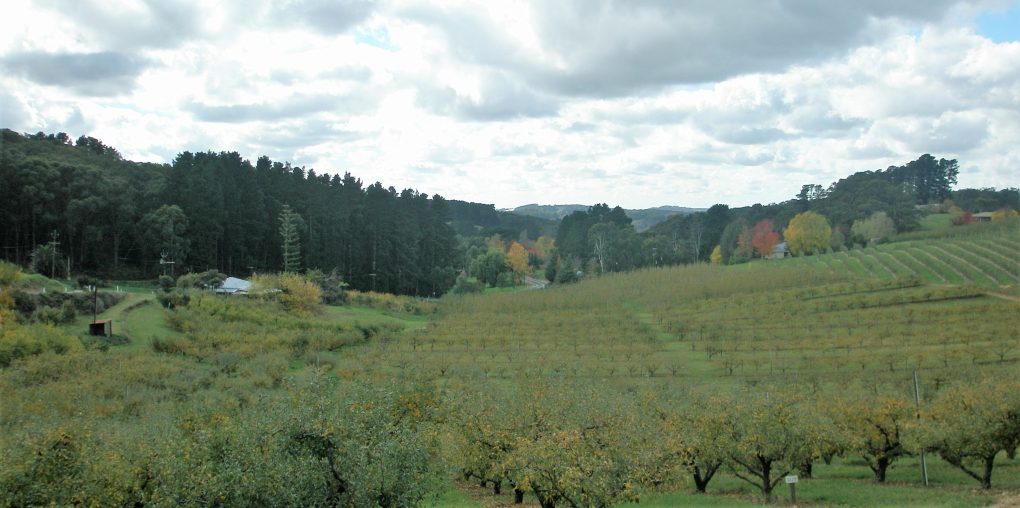
After timber cutting cleared the land fruit and vegetable farming commenced and continues today. Apples and cherries form the main crops with growers marketing through local packing sheds or, in the case of some cherry growers, offering ‘pick-your-own’ options. Being so close to Adelaide this is very popular during the weeks leading to Christmas.
Geography
Forest Range sits on the top of a high range and is still heavily wooded. See map. The township of Forest Range comprises a post office, hall and oval with a few houses. The Central Recreation Ground is located near the “Ford.” It has two war memorials and ANZAC day is observed there each year. The book The Forgotten Monument details the soldiers of the district who fought in World War I.
This is a very beautiful part of the Adelaide Hills and many families take advantage of the rural lifestyle while the proximity to Adelaide supports and easy commute. There is no public transport and children attend the Lenswood Primary School (originally named Forest School).
How to get there
Adelaide to Forest Range via Greenhill Road